



Via Roma
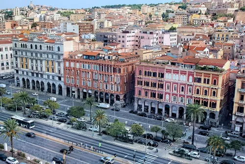
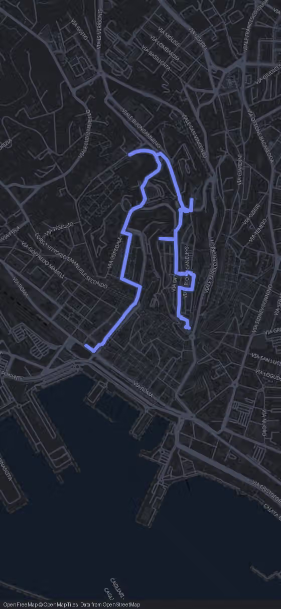
Start under the arcades. The stretch of Via Roma that faces the port, lined with porticoed palazzi, cafés and shops, is counted among Cagliari's “drawing rooms”, the place where the city comes to stroll and sit. This showpiece runs from the corner of Viale Regina Margherita in the east to Largo Carlo Felice in the west and marks the southern edge of the Marina quarter. Beyond it the street carries on west into Stampace, past Piazza Matteotti with the Palazzo Civico and the railway station.
Look up at the façades as you walk. The palazzata went up between 1893 and 1988, the year the Palazzo del Consiglio regionale was finished, and its eclectic buildings mix classical and Renaissance elements with Liberty decoration. Along one row of arcades you can read almost a century of changing taste.
None of this existed before the 1880s. The ground was taken up by the walls and bastions of the Marina, pulled down from 1880 for reasons of hygiene and because a royal decree of 31 December 1866 had ended Cagliari's role as a military stronghold. Between the harbour bastions and the houses ran the street's ancestor, Via San Francesco al Molo, named after the church of San Francesco di Paola. Further west it narrowed into Via delle Conce, where hides were tanned, and low houses with cheap trattorie leaned against the walls.
Via Roma opened on 6 January 1883, and the same demolition gave the city Largo Carlo Felice and Viale Regina Margherita as well. From here the route turns into Stampace: 660 m, about 10 minutes, to a doorway that leads underground.