

Hansehafen
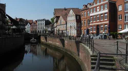
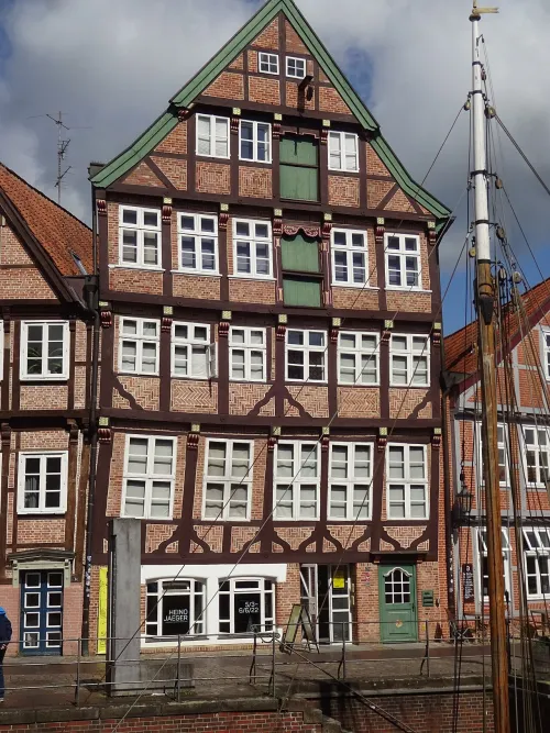
Stand at the edge of the basin and look along it: two rows of half-timbered houses frame the water over its entire length. The houses on Wasser West go back to the fifteenth century. Those opposite on Wasser Ost are younger, because the original buildings there burned in Stade's great town fire of 1659, a date that will come up again later on this walk.
The harbour itself is about a thousand years old. Around the year 1000 the town laid out a proper basin; before that, ships simply tied up at a natural landing place. Around 1300 the basin was swung round to where you see it today. Stade's town archaeologists excavated it thoroughly and pulled up finds from every century of its life, the most recent from 2014.
For most of that time this was a tidal harbour, linked by the lower Schwinge to the Elbe and rising and falling with its tides. Then came the storm flood of February 1962, which put the northern part of the old town under water. Since 1968 a weir with a road on top has cut the basin off from the tide, and ships can no longer come in. At the southwest end you can see the Hudebrücke, a brick barrel-vaulted bridge thoroughly renewed in 2014 and 2015; at the northeast end the Schwingesiel has stood since 1792.
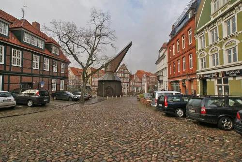
What the harbour lost as a port it gained as a meeting place: the old quay walls are now used mostly by cafés and restaurants, above all in the summer half of the year. Next to the Schwingesiel stands the Schwedenspeicher, completed in 1705 and home to the museum of Stade's town history. From here it is 130 m, about 2 min, along the water to the Fischmarkt and its crane.