

Place d'Armes
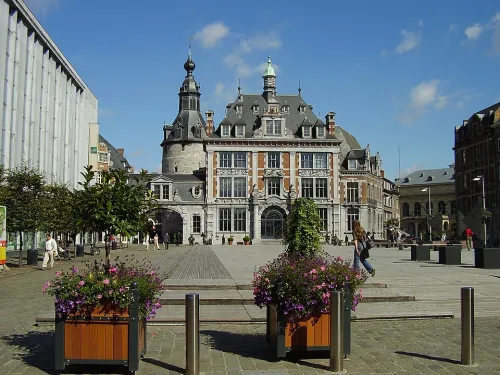
Place d'Armes is where the loop begins and ends, a paved square that Namur long called its Grand Place. The name tells you what such squares were for: in a fortified town, the place d'armes was where a small garrison mustered and where the big ceremonies of military life were held. Look around and picture a far more crowded scene, because for centuries this was a tight knot of houses and lanes.
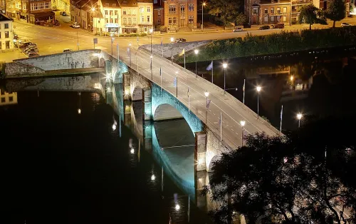
In the 10th century, Namur's second town wall protected the quarter around the Sambre bridge on the left bank. A chapel dedicated to Saint Rémy stood on the spot now taken by Halle al'Chair, beside a little square where Rue de l'Ange, Rue de Marchovelette and Rue du Bailly still meet. When a third wall went up from the 13th century onwards, the Saint-Rémy quarter grew and filled in, organised around three axes: the Sambre bridge, Rue de l'Ange and the Gravière gate.
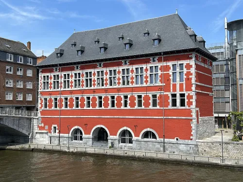
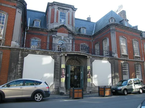
The aldermen had their own meeting house, the Cabaret des échevins, a symbol of the privileges the city had won. It moved from Place Saint-Remy to a lean-to against the chapel, and finally into a few nearby houses in 1514, the year the chapel was torn down. In 1574 the town acquired the refuge of the abbey of Brogne and renovated it as the seat of municipal power; the blocks between it and the Sambre bridge were cleared, the old walls pulled down and the moats filled in. That is how this square opened up.
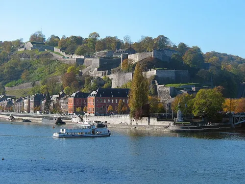
The quarter came through the sieges of 1692 and 1695 unharmed. A map from 1693 still labels the square Place d'Armes, and its southern side was then deeply curved inward, unlike today. From here it is 1020 m, about 17 minutes on foot, up to the Citadel of Namur.