

Rhine Bridge
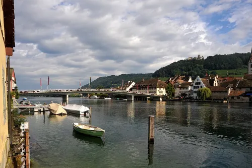
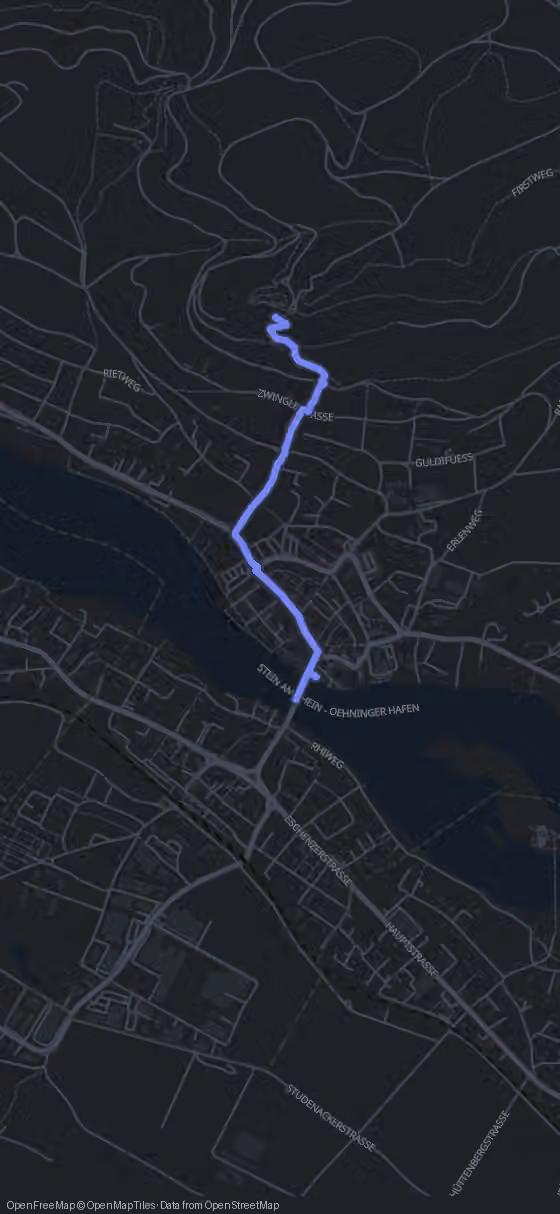
Start on the bridge and look along the water: right here, at and beneath this crossing, the Untersee, the lower arm of Lake Constance, comes to an end and the High Rhine begins. Today the bridge carries a two-lane town road with a footpath on each side, so you can stand at the railing and take in the river without dodging traffic.
People have crossed the Rhine near Stein for almost two thousand years. Wooden piles studied by tree-ring dating prove that the Romans built a bridge here in the years 81 and 82, slightly downstream near Eschenz, using the eastern tip of the island of Werd as a stepping point. The southern half was a pile bridge 217 m long and 6.4 m wide, with ten oak piles of 30 to 45 cm thickness rammed into the riverbed under each yoke. The northern half ran another 220 m, and because no piles were found along a 74 m stretch, archaeologists believe that part floated on boats.
Toward the end of the 3rd century a new, probably stone bridge rose upstream, close to today's crossing, protected by the Roman fort of Tasgetium. Its bridgehead foundations were later found beneath St. George's Abbey on the right bank, which is exactly where you are heading next.
The medieval bridge came from the abbey too. Around 1200 the abbot most likely ordered a crossing at the narrowest point of the river, and documents mention the wooden bridge in 1267: an open timber walkway on about ten pile yokes, wide enough for one cart at a time. It was thoroughly repaired from 1520, and during the Thirty Years' War drawbridges were fitted and the town side was fortified more strongly.
From the bridge it is only 90 m and one minute to the abbey, the institution that made this little fishing spot a town.